
Colorado Trail 2024 – Path of Solitude – Day 2
South Platte River Trailhead to Little Scraggy Trailhead
Distance hiked: 19,2 km/11,9 mi
Elevation: 749 m/2457 ft
Highest point: 2382 m/7815 ft
(data from my GPS watch, may be different from the official measurements)
Wow, the first day was over. I was still alive – and just a little creaky after a somewhat restless night. I got up at six in the morning to clear skies and soft light. Putting together my things took longer than planned, so I was finally ready to start hiking at eight. In between, I saw a female mule deer quietly stepping through the brush, pretty close to my tent – a gentle and unexpected morning greeting.
This segment was mentioned in the CT guidebook as a super hot hike – passing through a burn area from the Buffalo Creek fire in 1996. So: no water, little shade for the next 16 km/10 miles. And we had a heatwave around Denver these days… Great combo, right?
With my little experience so far, I was a tiny bit worried about how I’d handle the heat. But when I finally took off, I was awake, my water bottles were full, and I actually felt ready(ish) for the challenge! Most of the other hikers camping near the river had already set off by then.
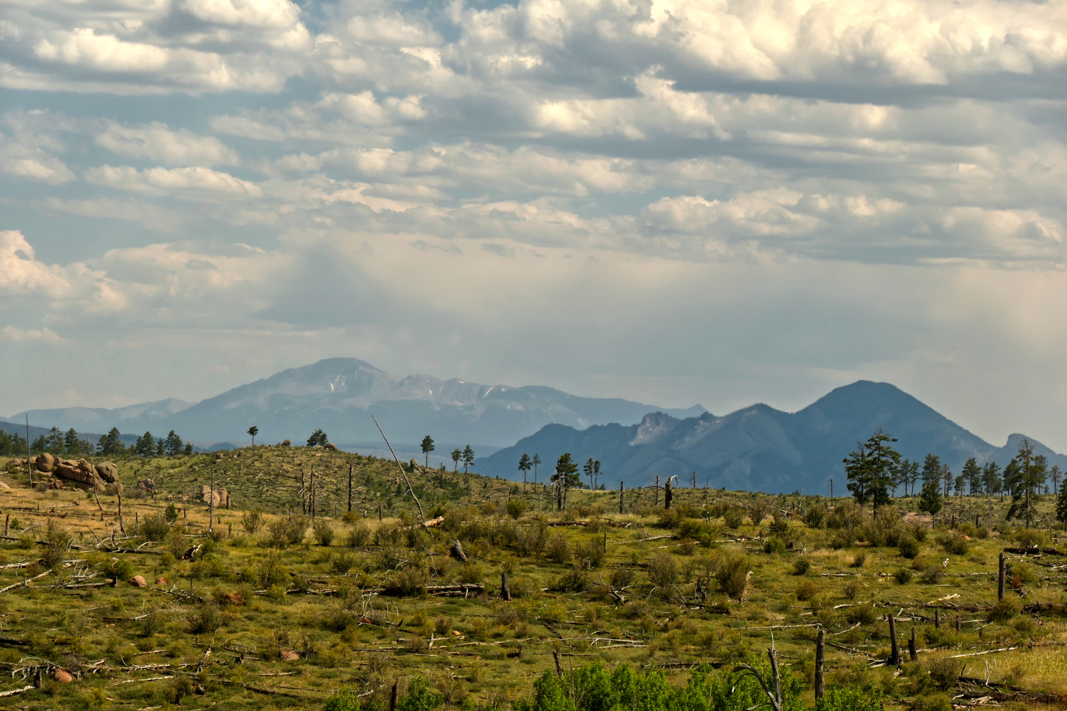
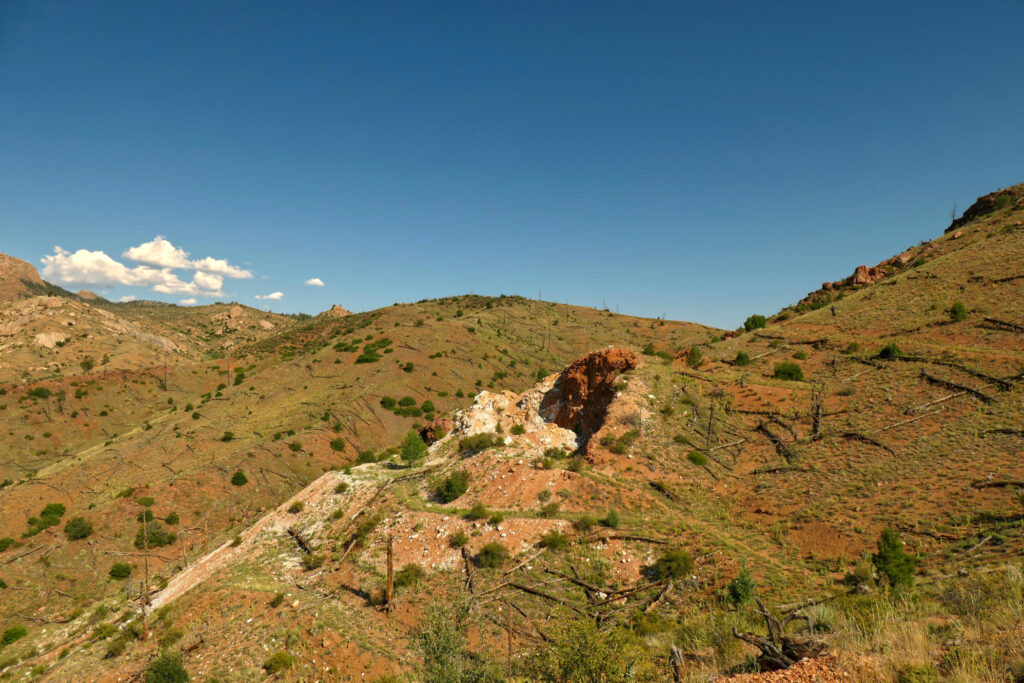
The temperatures were still okay in the beginning. After the first climb, I reached the burn area pretty soon. I visited the outlook near the old quartz mine – a wonderful panorama of the mountains and valleys all around. I was also impressed by the vegetation pushing through the scorched ground and I saw some nice birds.
When I reached the forest again, it had gotten quite hot. I took my first rest and snack. Getting back into the forest didn’t really help – no wind at all, just that heavy, pressing silence. So yeah, I was soaking wet by now, and the hike became a slow simmering effort.
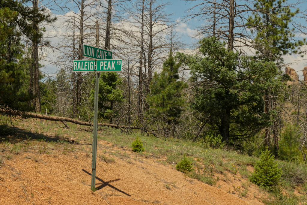
Close to Raleigh Peak Road, I decided to take a break a little after noon. Actually, I stayed for 2½ hours – charging my batteries with the solar panel, drying my t-shirt and hat in the sun. And mostly resting in the shade. That was really helpful. And although it was definitely hot, I didn’t melt entirely – I could handle the temperatures quite well.
The only thing was – I also had to drink during my rest. So my water bottles emptied a bit more than I had planned. The good thing: after my rest, the sky got cloudy, and the sun wasn’t that strong anymore when I continued. A small mercy.
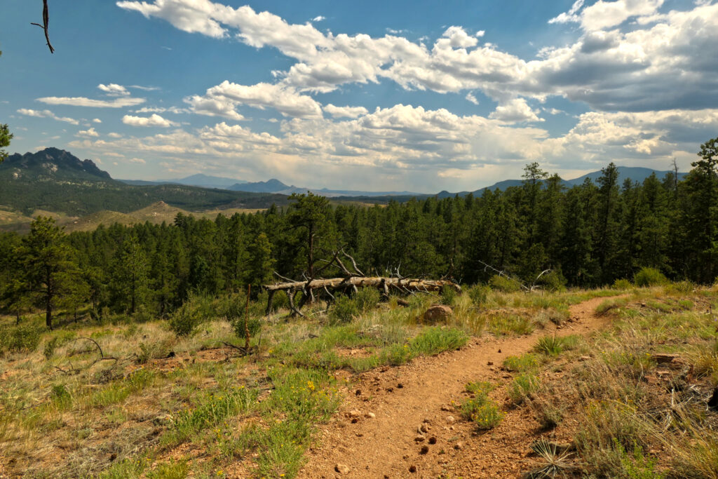
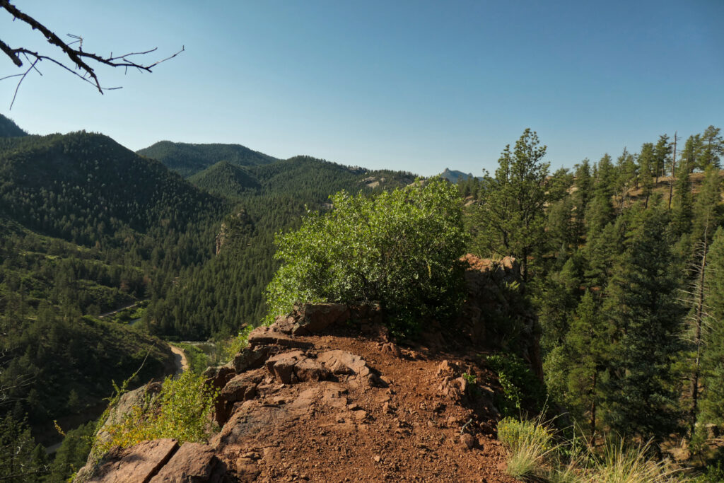
Back on the trail, after a short distance, I entered the burn area again. Now with only little ups and downs – quite pleasant. The scenery: Raleigh Peak, granite rocks, dry hillsides. And wait… was that Pikes Peak in the distance? Fantastic.
I really enjoyed this part – although I was soaking wet again right after my break. Since my water was limited, I used my GPS watch to have a sip every 500 meters. Gamifying hydration – worked surprisingly well. My body didn’t feel too bad, but I guess I had to trick myself a little bit here 🙂
Somewhere along this stretch, I lost my National Geographic trail map. It’ll come back to me later – that’s a story for another day!
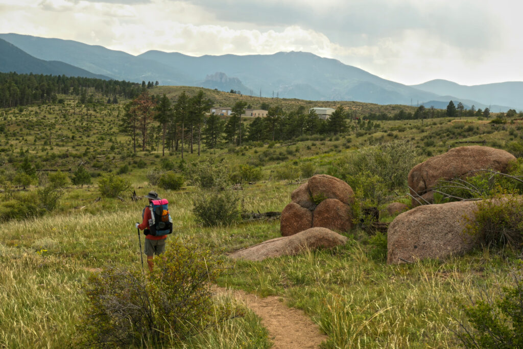
Getting closer to the fire station with water supply, I met hiker Greg. We walked the last stretch together. When we reached the station, we both took an extra-large, borderline ceremonial sip. Filling up the bottles felt wonderful! Two bike packers – father and son – were there as well. Hope their ride to Durango went smooth!
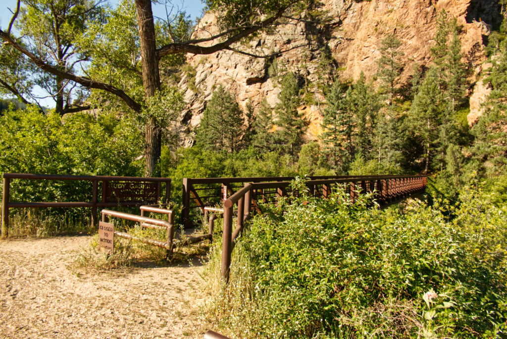
From there, Greg and I hiked a little further. We crossed Hwy 126 and found a place for the night between some trees, with a nice view toward the mountains.
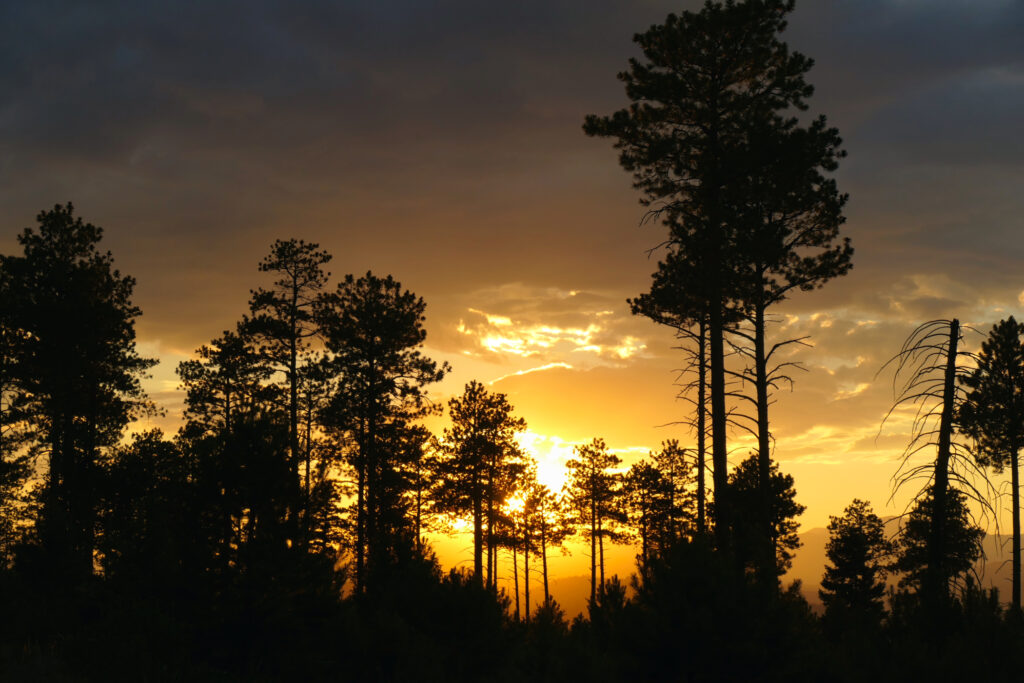
Hummingbirds were flying around, and there was a spectacular sunset.
I was quite proud of how I handled that day – and the heat. So far, things were going really well.
Tips, experiences, lessons learned
Hiking this segment during the week seems smart. The few mountain bikers I saw were super nice and alert. But I imagine it gets a bit more hectic on weekends.
Of course, getting an earlier start would’ve helped. So next time I’ll try to be quicker in the morning 😉 But taking a proper rest around noon in a shady spot – maybe with a bit of a breeze – was a good idea. No need to push through the hottest hours from noon to 3 pm…
And yes: REALLY take enough water. And don’t forget the electrolytes.
Other than that, the hike itself is very pleasant, and the trail is in good shape. Some spots have a lot of gravel going uphill – so careful steps help.
Oh – and don’t put maps or larger items in the pockets of your hiking pants if they’re not really secure. Sitting down on a tree trunk or rock can make them slip out unnoticed. (Yes, I know, beginner stuff – but sometimes the trail has to teach it anyway.)
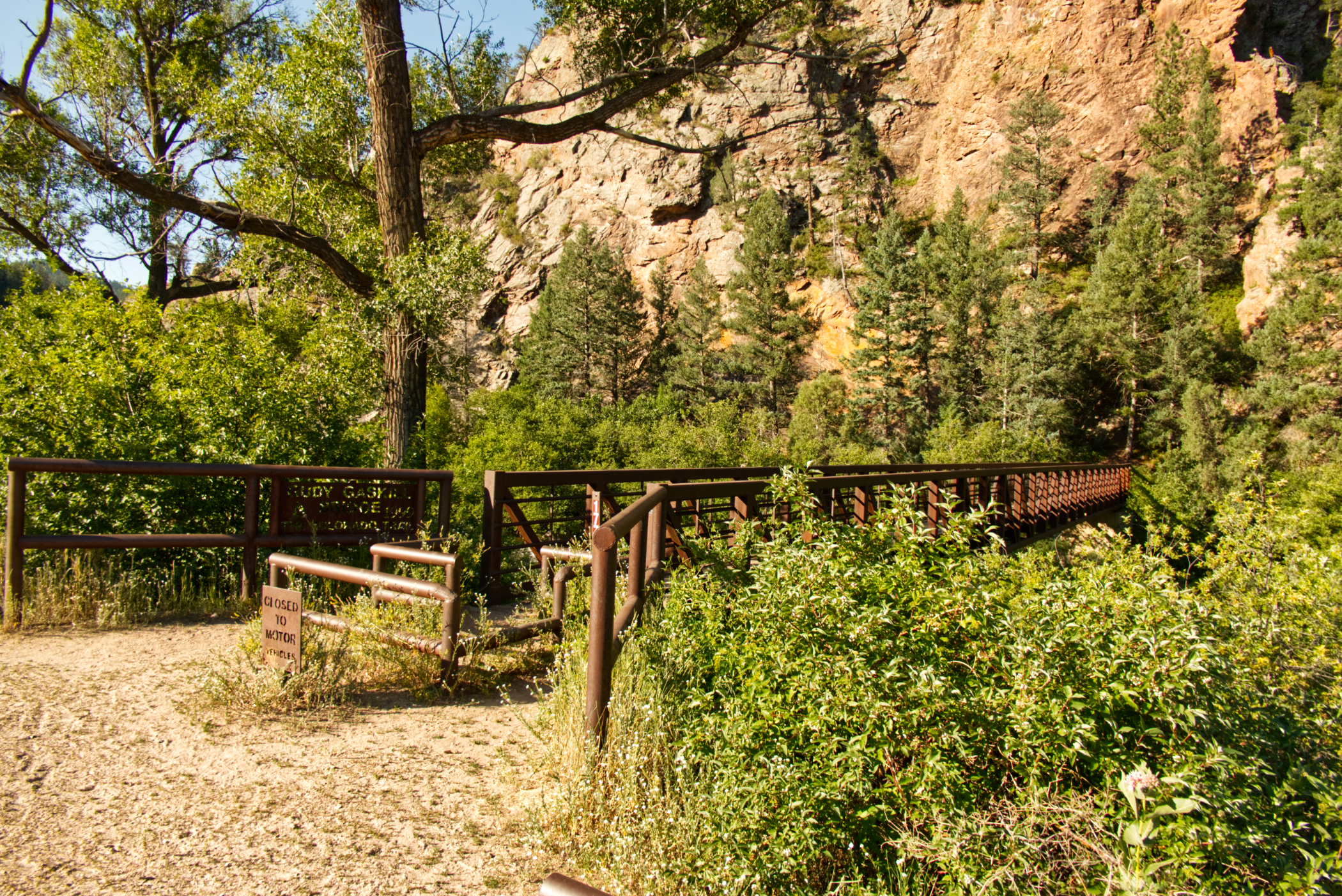
Slide show


Schreibe einen Kommentar